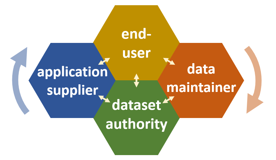
Demand-driven improvement of government geodata is a topic that is high on the wish-list in the geodata community. With the significant increase in use of government geodata for new purposes caused by open access, high quality data is a necessity. Dataset authorities do their best to improve data quality within the limits of resources available to them, but this is a challenging task due to the government funding model combined with the fact that benefits are harvested externally from where the costs are borne.
A solution to this challenge could be a new model focused on demand driven improvement of geodata based on financing tied to the value that improved geodata brings to key end-users in connection with significant business moments, and on scalable involvement of trusted, private data maintainers conducting acquisition and integration of improved geodata based on rules defined by government dataset authorities. The model is based on the concepts of digital platforms and volunteered geographic information.

In an article in the Kart og Plan-periodical (pp 211 – 224 • 17 December 2021) three geo-business professionals (Thorben Hansen, Lennart Hansen and Bent Hulegaard Jensen) describe the underlaying model and explore how the model could be applied to improve government geodata regulated by law, and how authorized land surveyors could play a role in this.
The article is available from Universitetsforlaget: https://www.idunn.no/doi/10.18261/issn.2535-6003-2021-03-04-07 – with full access only available behind a paywall. Free access to the full content is available in an open archive version of the article here:
